the writer describes the details of the route, where he
encountered more Nestorian, Armenian and Kurdish
villages.//
This is the third map of the Mosul-Van travel log,
showing the route from Çölemerik (Hakkari),
bottom-center, to Başkale, right-center, and from
there to Van, upper left. The box on the left
of the map shows the entire region and has smaller
boxes that relate to each of the three maps.
From Çölemerik (Hakkari) to Van
Trekking north from Çölemerik for a day, we arrived at Kochan village
after about three or four hours. This Nestorian village is where the
great patriarch of the Nestorian religious and political leaders Mars
Şimon lives. From here, the Zab valley's elegant forests and cultivated
fields make for a lovely view.

After Kochan village, the road gained altitude and we passed the snow-
covered peaks of Çayla and Cerçaylabak hills through a high pasture
between the ridges. This high summer pasture is where the people of
Çölemerik spend their summers. Then, before passing the Harafat
Mountains, whose highest peaks are 3,000 meters high, we spent the
night on the side of the road.
Subsequently, we passed along the rather straight watershed line of
these high hills, through pastures for five or six kilometers. Passing a
few poor villages on the right side, we came to Başkale, which is an old
Kurdish city on the slopes of the mountain there. The populace gets by
with agriculture and the number of Kurds and Armenians is about 4,000.
There is a 'mutasarrıf' (Ottoman official) and it is something of a
military city. Other than that, it has no importance besides being a
way-station for caravans heading to Urumiye and Van.
Through pastures or the watershed line for 25 kilometers, we followed
the Zab River to an Armenian village named Zir, where there is a
pretty, old church. Travelers from Van heading for Dilman and Urumiye
cross the Zab here. The Iranian border is just a few hours from here.
As we approached the source of the Zab, its riverbed narrowed to a
point where its name changed to the "Albak" waterway. From Zir the
road gradually rises to Kok Mountain, where there is no longer any
vegitation. The wind at the top of the 3,000-meter-high hills is so
violently fierce that even in the summer it feels like a whip on one's
face. In winter it is extremely difficult to pass through here and the
piles of animal bones here and there are testiment to this danger.

Proceeding from here, Gendarmerie outposts are encountered on
both sides of the road, after which one comes to an Armenian village
named Şozlamerg. A little further on is the village of Şozbah and
a stream by the same name. The visage of the village and the stream
are most pleasing. The ruins of the "Mahmudiye" mansion, which
was probably built on the rock by Armenian rulers, increases the
elegance of the view.
The road then follows the right side of the Huzab stream, part of
which is swamp, to Nurku village. From there, over Zevduz
Mountain and turning northeast, one follows the slopes of Varak
Mountain, from where the mountains surrounding Lake Van can
be seen. The sight of Nemrud Mountain, which dominates the view
on the lake's western side, and the snow-covered pyramidal mountains
on the north shore, combined with the blueness of the lake's surface,
is mesmerizing. The high and green villages on the outskirts of Van
city only serve to enhance the lovliness of this view.
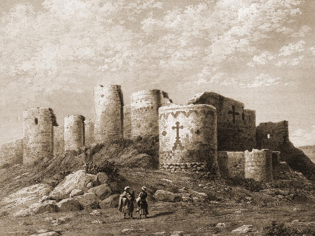
A place of worship named Yedi Kilise (seven church) on the slopes of
Varak Mountain can be seen from afar. In short, I can say that this
area of Van city and Lake Van has the most beautiful and lovely sights
that we have seen during the entire trip.
On the tenth of August our caravan entered the city of Van.
Varak Mountain in the background of Van city and fortress.
//END of PART III/FINAL//


Hiç yorum yok:
Yorum Gönder